Three Strategies to Reduce Costs: Purchasing Partnerships for Water Systems
This resource provides examples of purchasing partnerships for water systems.

This resource provides examples of purchasing partnerships for water systems.
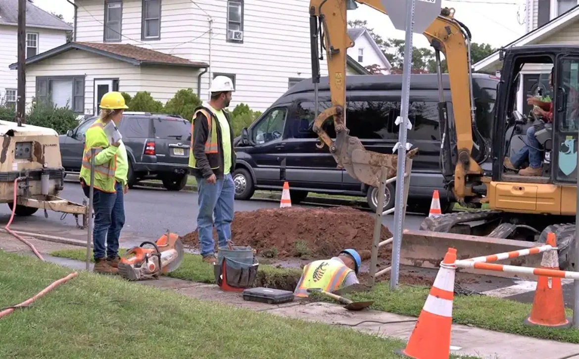
This article celebrates the kick-off of Passaic Valley’s LSLR program setting a goal to remove all LSLs in 2025.

ESRI’s Lead Service Line Inventory Solution configures ArcGIS to create and maintain lead service inventories, conduct material verifications in the field, manage replacement activities, monitor progress, and inform the community. ArcGIS platform is a common GIS tool leveraged in the water sector for maintaining assets.
Diamond Maps is a cloud-based software that serves as a more economical option for smaller and rural utilities for asset management with a GIS tool.

As part of its guidance for service line inventories, EPA developed an inventory template for water systems, states, and Tribes to use or adapt to create their own. Utilities should additionally check with particular State requirements.
EPA guidance to help water systems follow best practices when building and maintaining their service line inventories.

Louisville Water Company posted an educational video to demonstrate how to identify material types in customer’s homes.

The Oshkosh water utility outreach materials have sample images for guiding customers on how to determine service line material. These materials are also provided in multiple languages.
ArcGIS Survey 123 is an ESRI product that ties directly to the service line inventory. It can be customized as an online portal for the water system’s website to capture survey information and photos from customers and inspectors. Staff can review the results before updating the inventory information.
Vyntelligence provides a platform that can be used to capture photos and videos from customers to verify service line materials on the private side.