Lead Service Line Replacement Cost Calculator™
A free, multilingual tool that enables municipalities and utilities to generate customized cost estimates for replacing lead service lines, supporting informed planning and budgeting efforts.

A free, multilingual tool that enables municipalities and utilities to generate customized cost estimates for replacing lead service lines, supporting informed planning and budgeting efforts.

Greater Cincinnati Water Works maintains an LSLR map that clearly denotes the public and private side service line materials.
Platteville has an LSLR dashboard that identifies funding sources and applicability.

This template provides sample language to draft a local ordinance mandating full LSLR and enabling water utilities to access properties to replace the private portion of the LSL.
The city of Benton Harbor has an LSLR Status dashboard that identifies how many LSLs are present in the system and how many have been replaced.
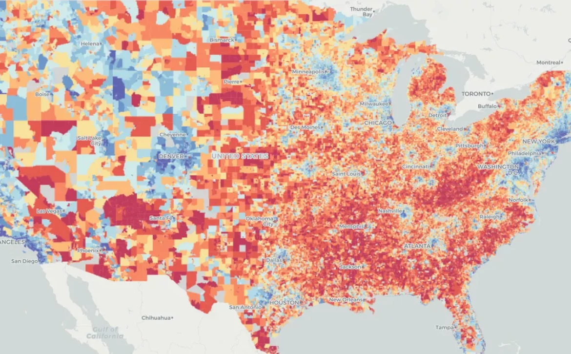
Milwaukee uses an Area Deprivation Index to prioritize neighborhoods for LSLR.

Greater Cincinnati Water Works collaborated with the University of Cincinnati to develop a Prioritization model.
DC Water uses a model to prioritize LSLR in disadvantaged communities that are already marginalized, underserved, and overburdened by pollution.

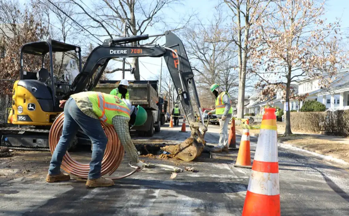
Swordfish identifies lead pipes using an auto-fed cable and low-voltage conductivity probe that goes in the pipe, without the need for excavation.
Viken Detection’s XRF – PB200 x-ray imaging technology can be used to detect lead service lines without excavation.